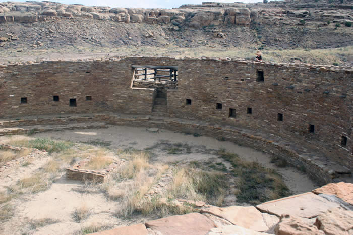
 |
|
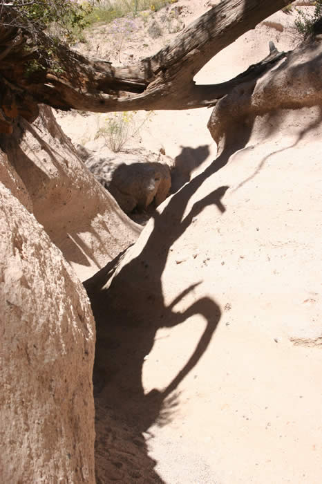
Erosional features on the way into the monument. |
|
 |
|
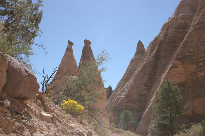
Local butte, visible from the parking area |
|
 |
|
Another local Butte |
|
 |
|
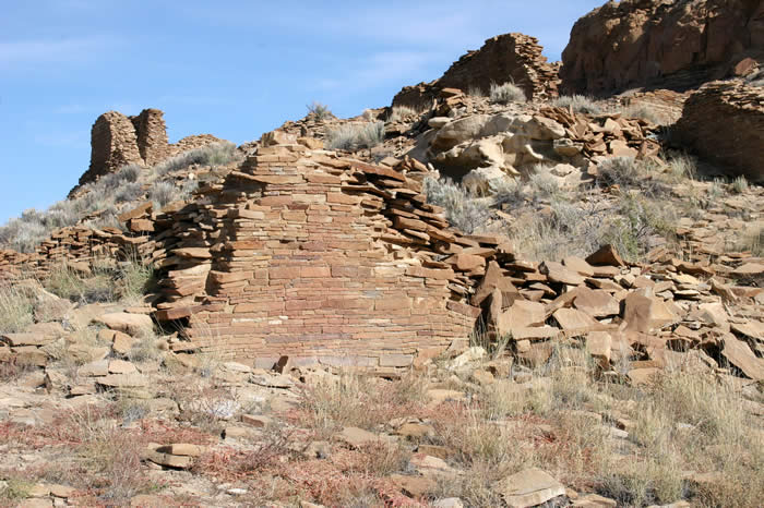
There are any number of ephemeral and smaller ruins in the vicinity of the canyon. These are seen on the way in. Even though the majority of the structure is gone, the high quality of the workmanship is apparent. |
|
 |
|
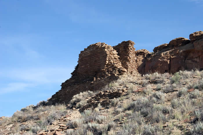
Another enigmatic structure against the skyline. |
|
 |
|
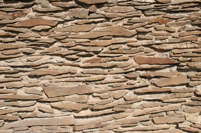
While not all of the masonry is of equal quality, it all displays a meticulous approach to stonework. |
|
 |
|
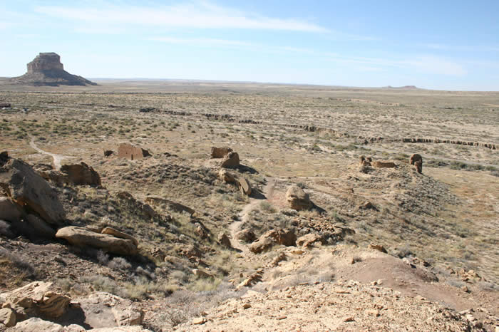
The butte from the first picture in the collection can be seen in the background. A group of smaller structures in the foreground hints at what must have been a fairly developed area. |
|
 |
|
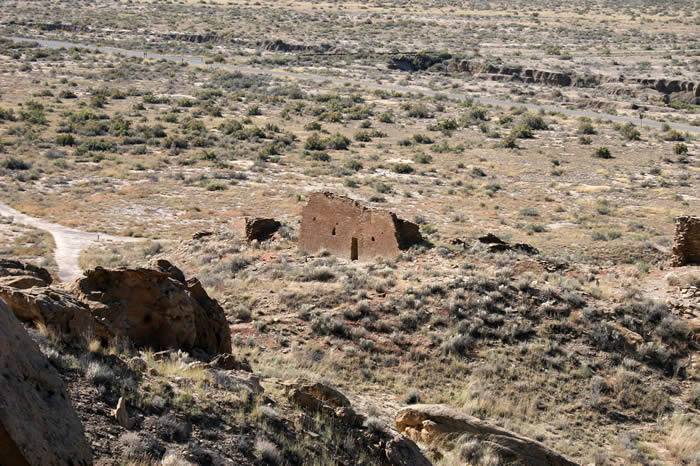
A closer look at one of the remaining structures |
|
 |
|
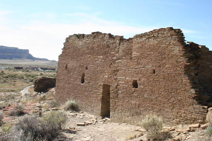
as one draws closer, one realizes the structure is quite large. |
|
 |
|
Many enigmatic petroglyphs can be found on the walls of the surrounding canyon |
|
 |
|
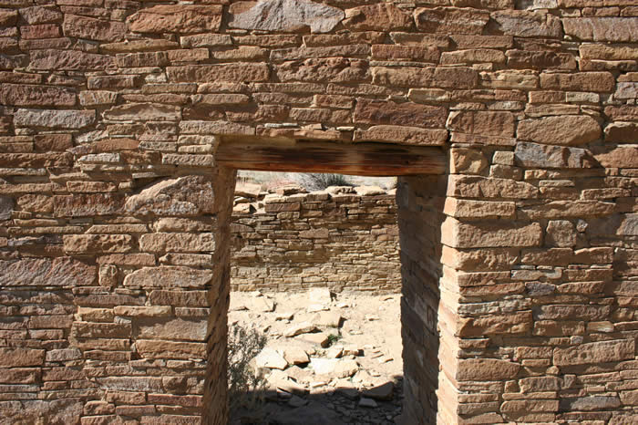
wooden lintels put in place hundreds of years ago are still in good condition |
|
 |
|
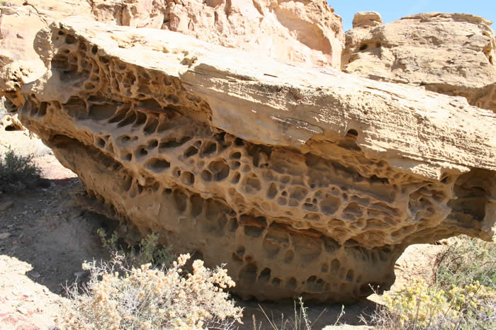
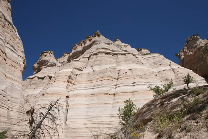
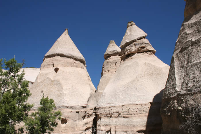
This sandstone displays interesting erosional features that were probably caused by water many millions of years ago. Predominant bedrock in the area is sandstone and shale, dating from the late Cretaceous. |
|
 |
|
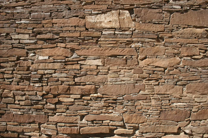
Another example of the brick work in the area |
|
 |
|
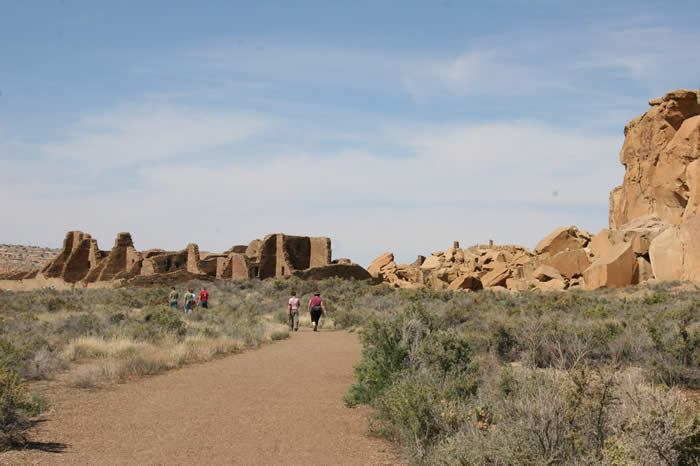
moving up the visitor's path to the outskirts of the main area |
|
 |
|
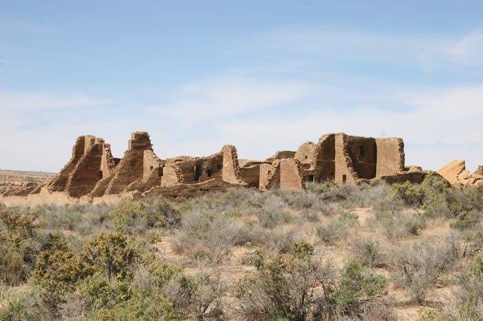
the main area is peppered with the ruins of literally hundreds of buildings |
|
 |
|
despite their advanced state of collapse, the architectural majesty of the buildings is apparent |
|
 |
|
wooden beams that could be as much as a thousand or more years old are still in excellent condition due to the dry environment |
|
 |
|
Many of the trees that were cut down for these buildings have been dated using tree ring evidence. It turns out that the oldest buildings were built using trees in the immediate vicinity. As the environment degraded and trees were progressively cut down, wood was hauled in from further and further away to complete architectural projects. |
|
 |
|
The remnants of a row of beams that once supported the ceiling stick out from one of the walls. This is a common sight. |
|
 |
|
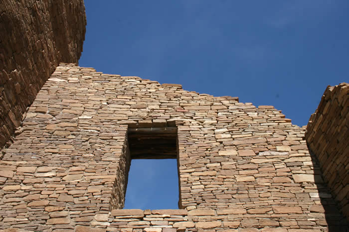
More magnificent brick work, cast against a cobalt sky |
|
 |
|
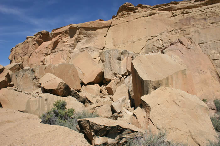
A spectacular collapse from the surrounding cliffs crushed a number of buildings at some point. |
|
 |
|
The remnants of the wall crushed by a huge block can be seen in the foreground. |
|
 |
|
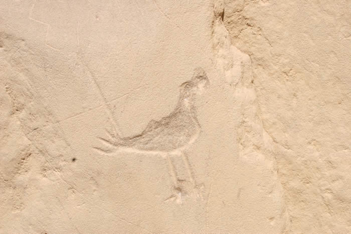
Petroglyph of a bird |
|
 |
|
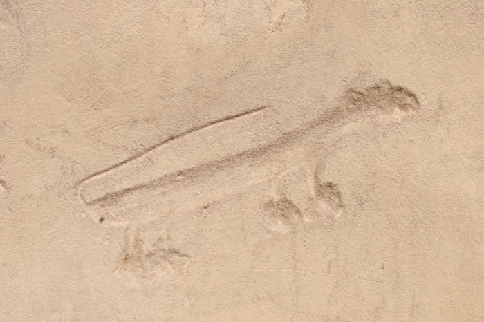
Petroglyph of an unknown animal |
|
 |
|
geometric petroglyphs |
|
 |
|
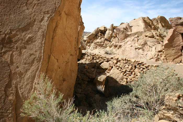
another view of one of the huge blocks that landed on top of the dwellings |
|
 |
|
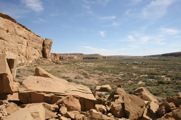
A view of the canyon proper |
|
 |
|
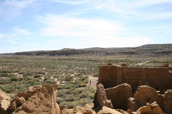
the view from the ruins out across the canyon to the other side |
|
 |
|
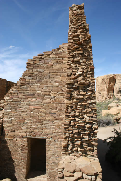
masonry |
|
 |
|
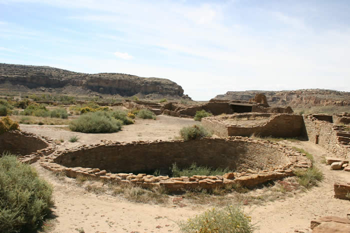
one of the many kivas that dot the area |
|
 |
|
Another much larger kiva. Some of the niches in Kivas were found to contain offerings or pottery. In at least one location in the American Southwest, Archaeologists have found a cache of distinctive of vertical urns typical of those used to keep chocolate in Central America. The implication is that these cities traded across a wide Geographic range. |
|
 |
|
This is smaller, more intimate Kiva appears to be inside the courtyard of a group of buildings |
|
 |
|
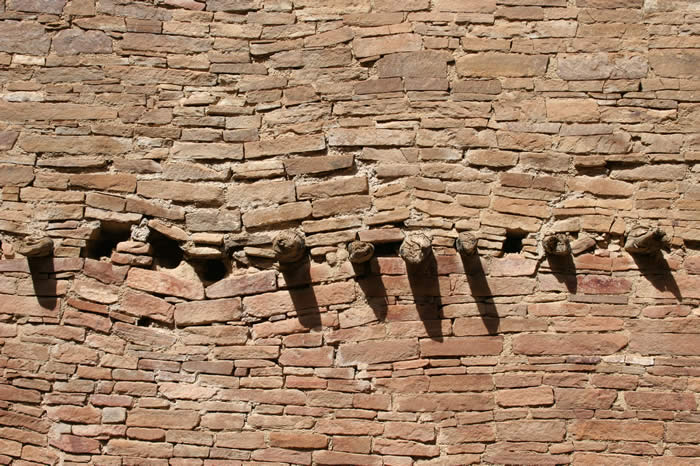
to all appearances, this wall has sagged since it was first built. |
|
 |
|
The remains of support beams protrude from a wall |
|
 |
|
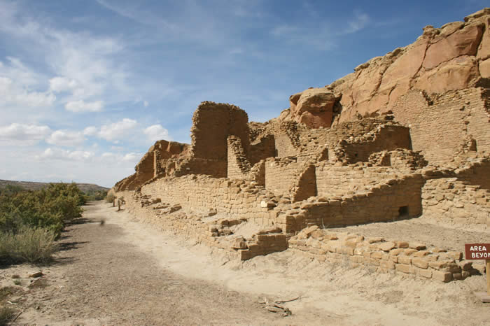
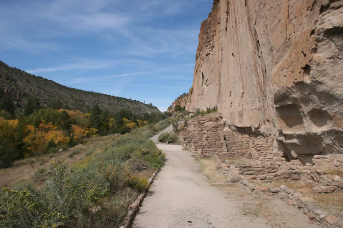
many buildings were built directly against the cliff face. A large number of them have collapsed or disintegrated |
|
 |
|
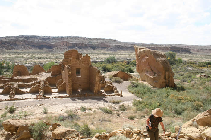
some outlying structures |
|
 |
|
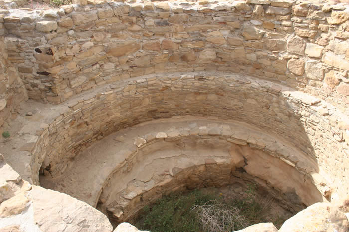
A kiva |
|
 |
|
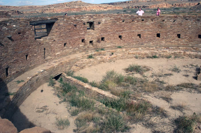
peering in through a small entrance towards the other side of a large kiva. |
|
Another view |
|
 |
|
the tunnel in the floor undoubtedly provided entrance. |
|
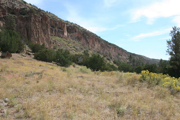
Bandelier National Monument |
|
 |
|
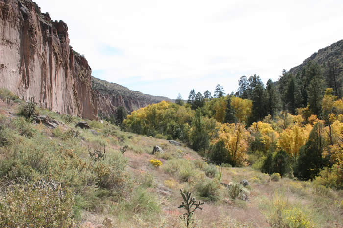
The landscape at bandelier is considerably less arid |
|
 |
|
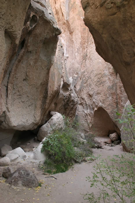
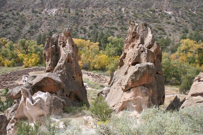
some intriguing Canyon structures can be found |
|
 |
|
 |
|
 |
|
looking down on one of the ruins from a hillside |
|
 |
|
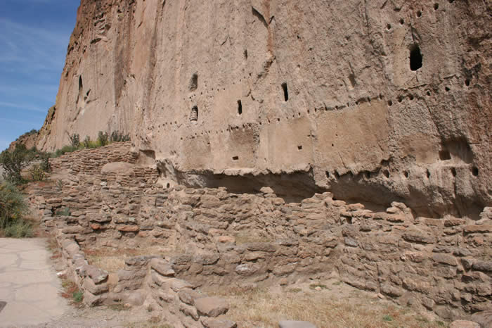
Areas where support for floors and roofs once existed testifies to the fact that this was once a densely populated area |
|
 |
|
 |
|
 |
|
 |
|
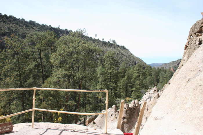
some of the structures in the area were built into steep cliffs, only accessible by ladder. |
|
 |
|
 |
|
 |
|
 |
|
 |
|
 |
|
 |
|
 |
|
 |
|
|
Nefersweetie an incidental web space created and supervised by Lee van Laer |
